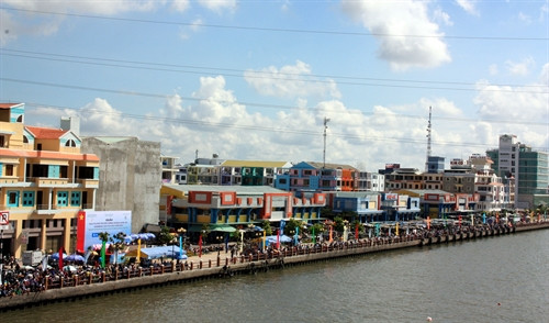
It is necessary for the Mekong Delta, the country’s largest rice granary, to devise long-term and synchronous planning to prevent inundation in light of climate change, experts have suggested.
Comprising 12 provinces and one centrally-run city, the delta plays an important role in the national economic growth and food security strategy as it contributes over 50 percent to the country’s food output, 65 percent of seafood and 70 percent of fruits.
However, the region is being threatened by environmental change impacts such as rising sea level and saltwater intrusion. The submergence has become more serious in the urban areas of Can Tho city, Vinh Long, Tien Giang, Long An, Dong Thap and An Giang provinces.
Scientists predict that a one-meter rise in sea level could let saltwater in 70 percent of the delta’s area. As a result, Vietnam would lose two million hectares of farmland and many coastal localities would be submerged under water.
According to a study conducted by Norwegian experts in 2013, the overexploitation of underground water at the Ca Mau peninsula has resulted in land subsidence in the delta. The annual land subsidence rate is about 3 centimetres, 10 times the speed of rising sea level. If this situation continues, the rate could go up to 1-1.3 meters in the next two decades.
Former Deputy Minister of Agriculture and Rural Development Dao Xuan Hoc said the State should implement synchronous plans from upper to lower levels and vice versa as well as from multi-sectoral to uni-sectoral levels and vice versa.
The establishment of an agency in the delta to support the Government to implement and manage regional planning schemes is crucial, he said.
He called on separate sectors and localities to strengthen cooperation in land usage planning, technical infrastructure improvements and human resources development along with environmental protection, dengue prevention and climate change adaptation.-VNA


