Hanoi (VNA) - According to the National Centre for Hydro-Meteorological Forecasting, there are still complex developments in the remit of natural disasters in 2019 due to the impact of El Nino phenomenon.
The storm season will come late, while hot weather is likely to appear earlier than that in many years across the country, and untimely rains will appear locally.
Heat waves come early
There are still complex developments for natural disasters in 2019 due to the impact of El Nino phenomenon. The ENSO phenomenon, the umbrella term for the El Nino and La Nina phenomena, is predicted to maintain its El Nino status in the first half of 2019 with a probability of 80-90 percent.
The average temperature is forecast to be much higher than those of many years. From now until February 10, about three to five cold waves are likely to occur. The cold and chilly spells can occur in the last days of January to early February, but will not last for long.
The cold and chilly spells are likely to last between 4-7 days, mainly in January and February. The phenomena will be less than those of recent years.
Heat waves will be likely to appear earlier than many years in many localities nationwide.
The average temperature from February to June in most localities nationwide will be higher by 0.5-1 degrees Celsius than the average level for that period has been for years.
In February and March, the temperature in the northern region will be likely to be 1-2 degrees Celsius higher than the average in the same period of many years.
Less storms, but abnormal
Due to the impact of El Nino, storms and tropical low pressures are likely to appear in the East Sea and they tend to come later than many years. The number of storms is forecast to be less, but they will be stronger and not follow typical patterns; while the frequency of heavy rains will also see reduction but become more fierce than in 2018.
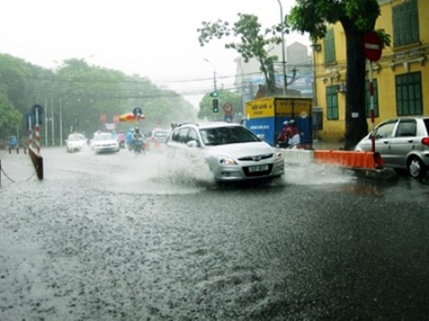
In February, the equatorial low pressure strip in the south of the East Sea continues to operate with great strength, which may affect the weather of Vietnam’s southern provinces and cause untimely rainfalls.
Strong winds are forecast to occur in coastal areas and waters in the north and the East Sea in February and March due to the operation of the northeast monsoon.
During this period, it is necessary to stand ready against dangerous weather events such as thunderstorms, lightning, whirlwinds, and hails of the seasonal transition period in April and May.
Untimely rains appear partially
In the northeastern region, more rain and drizzle days are forecast for February and March than have been seen in many years. The total rainfall from February to June in the northern region is approximately equal to the average in the same period of many years.
Meanwhile, in the central region, the total rainfall in February will be higher than the average by 15-30 percent. From March to June, the total rainfall will be about 15-30 percent lower than average for that period, yet in the north-central region, the average rainfall will be around the same as in recent years.
In the Central Highlands and the south, the total rainfall in February will be higher than the average of many years, and the partial unseasonal rain in February in the southern region is likely.
However, from March to May, the total average rainfall will be lower than it has been in many years. In June, the total rainfall will be at an approximate level to the average in the same period of many years.

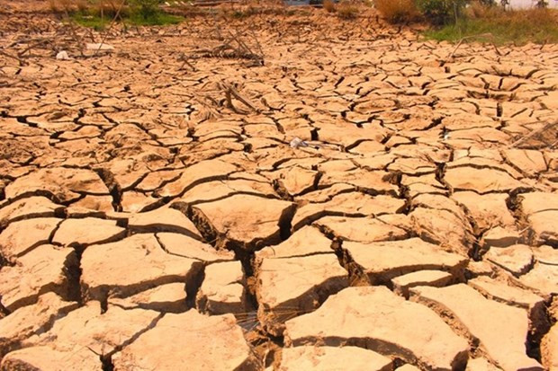
Localities in the Mekong Delta region need to be proactive in preventing drought and saline intrusion. (Source: Vietnam +)
Preventing drought and saline intrusion
From the second half of January to April, the water level in the northwest region will be 5-30 percent higher than recent averages, while those in the northeast region will decrease 10-30 percent; the northern delta region will be roughly the same in January and February, however it is forecast to be at a shortage of 30-40 percent from March to April.
The lowest water level in the Hong (Red) River in February and March will look like it will be at 0.3-0.4 m. Partial water shortages and droughts will be likely to occur in some provinces in the northeast region in the early dry season.
In the north-central region, from the second half of January to March, the water level in rivers in Thanh Hoa province will be 10-30 percent lower than the average for that same period; that in rivers in Nghe An province will be lower by 50-60 percent; and those in rivers in Ha Tinh province will be 30-35 percent lower.
In the mid-central region, from the second half of January to March, the water level in rivers from Quang Binh to Thua Thien-Hue is forecast to be 20-50 percent lower than the average in the same period in many years; while rivers in Quang Nam and Quang Ngai provinces will be 5-25 percent higher.
From the second half of January to March, the water level in rivers in the Central Highlands, is approximate to and 10-40 percent higher than recent averages. Droughts and partial water shortages are likely to occur in the central and Central Highlands provinces from April to June.
In the southern region, from the end of January to March, the water level of the Mekong River will gradually decrease yet remain 0.15-0.3 m higher than recent averages. From April to June, the Mekong River water level will descend to the lowest in May, then will gradually rise in June yet remain higher by 0.1-0.2 m.
Saline intrusion in the estuary areas in the region will be equivalent to those in recent years, yet slightly higher than in the 2017-2018 period. The highest salinity in rivers in the southern region will be recorded during March. Particularly in the Vam Co river system and the Ca Mau-Kien Giang peninsula, the highest salinity level will appear in April and May.
Therefore, localities in the Mekong Delta region are advised to be proactive in preventing drought and saline intrusion.-VNA


